
After leaving Death Valley I set my sights on Cedar City, Utah. There is no real direct route to that part of Utah from Death Valley because there is a large military area and the Nevada Test Site right in the way. The Nevada Test Site is an area, also known as the White Sands (that was a pub trivia question I got once), is where the US Government tested the nuclear bombs before dropping them on Japan. Most of the iconic mushroom cloud photos were made here. Testing stopping in 1992, honoring the articles of the Comprehensive Test Ban Treaty (even though the treaty was not ratified by the US).
So to get to Utah from southern California you have two options: take Interstate 15 passing Las Vegas and cutting the corner of Arizona or go north on US Highway 95 and then cut across. Since I am trying to avoid interstates, I opted for the latter. I took Hwy 374 out of the park and then took Hwy 95 North, where it met up with US Hwy 6. Then, rather than taking Hwy 6 further north than necessary, I turned onto Nevada Hwy 375, which is known as the Extraterrestrial Highway.

I did not see anything that could be called extraterrestrial. I saw a lot of cattle grazing on the open range area. And a beautiful sunset.
From there I caught up with US Hwy 93, and then Nevada Hwy 319 which turns into Utah Hwy 56 when it crosses the border and took that into Cedar City, where I spent the night with a very generous couch surfing host.
I left in the morning to head out to Bryce Canyon National Park. Bryce is characterized by the hoodoos throughout the canyon. A hoodoo is a tall, pillar like geologic formation. The hoodoos at Bryce are generally limestone and they get their red hue from oxidized iron. They formed from the pretty constant freezing and thawing that happens at Bryce; an estimated 200 days a year the temperature swings above and below freezing. This freezing and thawing wore away at the rock. But some pieces were resistant to this chemical erosion and as such preventing the rock beneath them to erode as well, leaving the hoodoos.
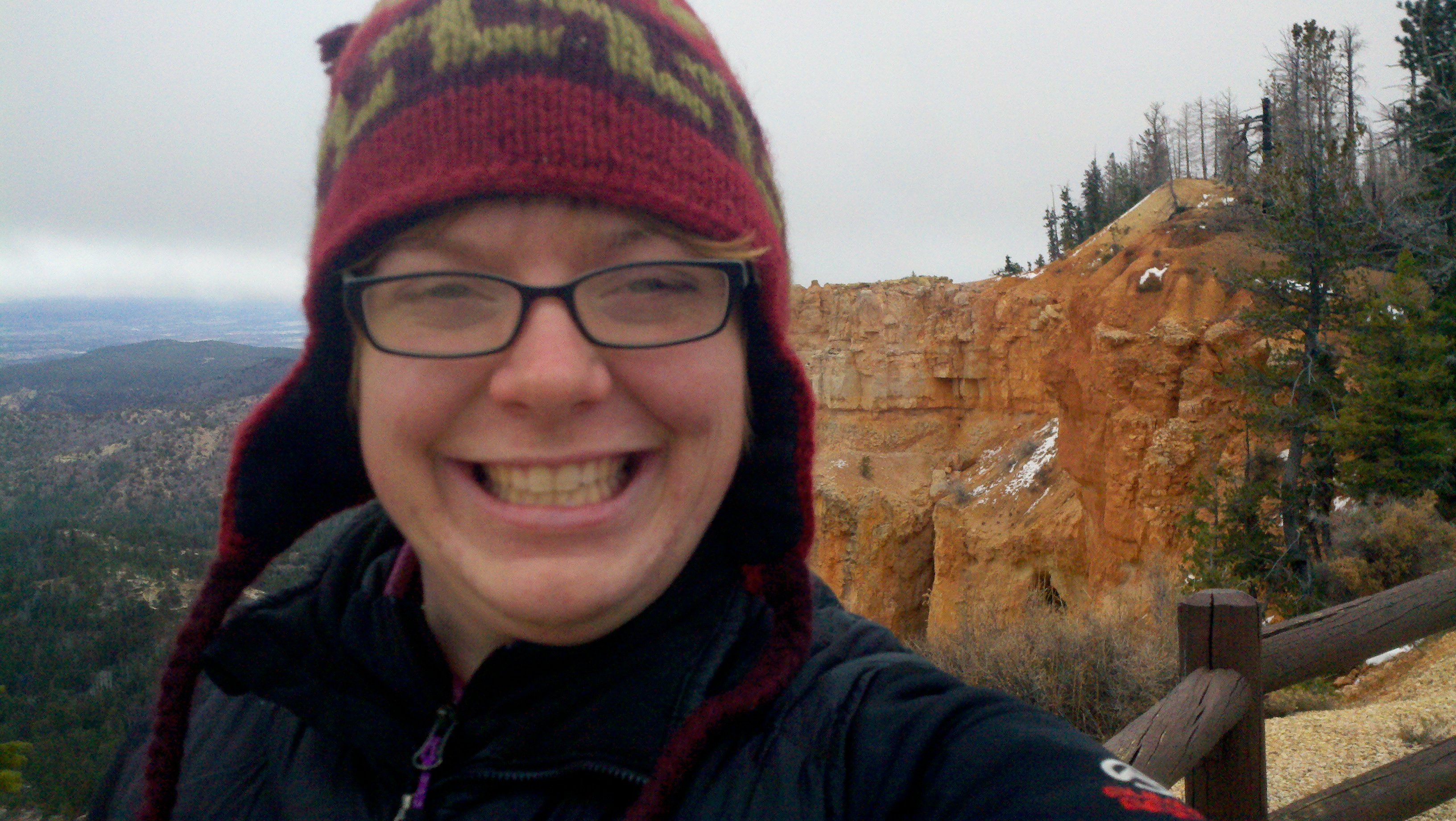
The road in the park goes to Rainbow Point, at 9100 feet elevation. When I was there it was super foggy and there was snow. As I lost elevation at each viewpoint, the fog became less heavy and there was less snow. But, it was still pretty cold. I had on my warm hat, five top layers and three bottom layers and was just barely comfortable.
The views are incredible. Looking out across the amphitheaters and seeing these rock forests rise up was totally amazing. I was scoping out the trail system on my map and I would definitely love to make it back here and do an extended backcountry backpacking trip. I know that the night skies must be amazing and to see the stars dance among the hoodoos would be a beautiful sight.


I lost my courage to camp in Bryce when the sunset and I saw that temperatures were set to reach the low 20s and that snow was a possibility, so I grabbed a hotel room to rest up before heading out to Zion National Park.